Cape Cod, Massachusetts (Part 1)
Earlier this year, Charles and I had a two-week getaway planned to Spain and Portugal in honor of our 10-year anniversary, but, like most travel plans the world over, ours were canceled due to COVID. When the end of summer rolled around and it was deemed safe for Americans to travel domestically to regions with low case and hospitalization rates, Cape Cod seemed like the perfect destination: not too far from where we’re currently based in the Catskills; easy access to some of the freshest seafood on the East Coast; and, most importantly, quarantining would not be necessary or required. Being cooped up in our house since March, a change of pace and scenery from the day-to-day tedium brought on by COVID would be greatly welcomed…and needed.
When you think of gay men traveling to Cape Cod, your mind probably makes a direct association with Provincetown; but we decided not to stay there due to a fear of potential crowds and the lack of proximity to the rest of the cape. Instead, I found us a contemporary rental house from the aptly named WeNeedaVacation.com in North Truro, just around the cape’s arc from Provincetown. The house, delightfully dubbed Avocet’s Nest, was perfect, with soaring ceilings, lots of natural light, a large deck with full sun exposure and views of the bay, plus access to a private beach.
We rented Avocet’s Nest for a week in mid-September. Getting there was a breeze – a quick ride up the New York State Thruway and then a straight shoot across the Mass Pike to U.S. 6, the primary route that runs up and down the spine of Cape Cod. Other than a brief stop at a picnic area to watch Charles’ niece’s virtual wedding on our iPad, we pretty much drove straight through. To my surprise, there was little to no traffic, and with the constant and wavering tempos of Tchaikovsky, Mozart, Vivaldi, and Grieg emanating from our car’s speakers, the 320-mile journey flew by.
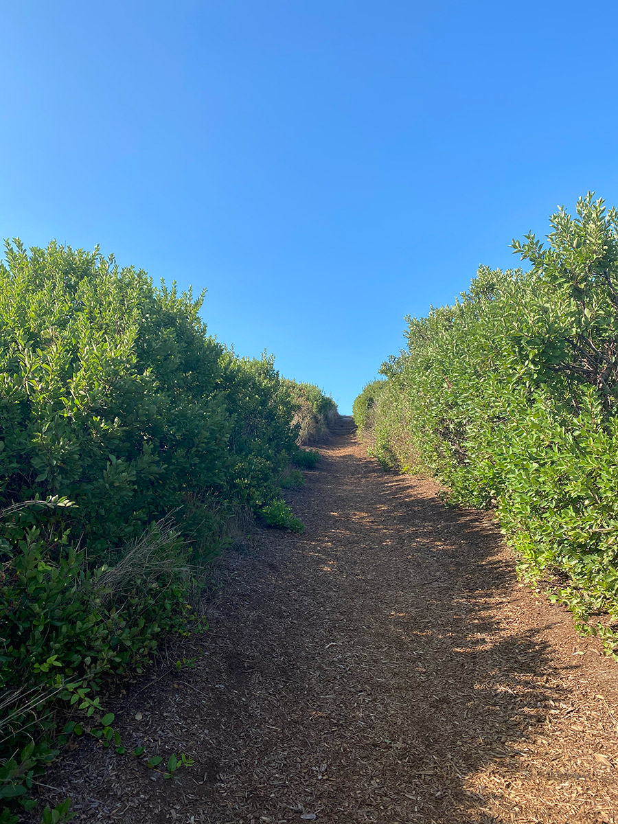
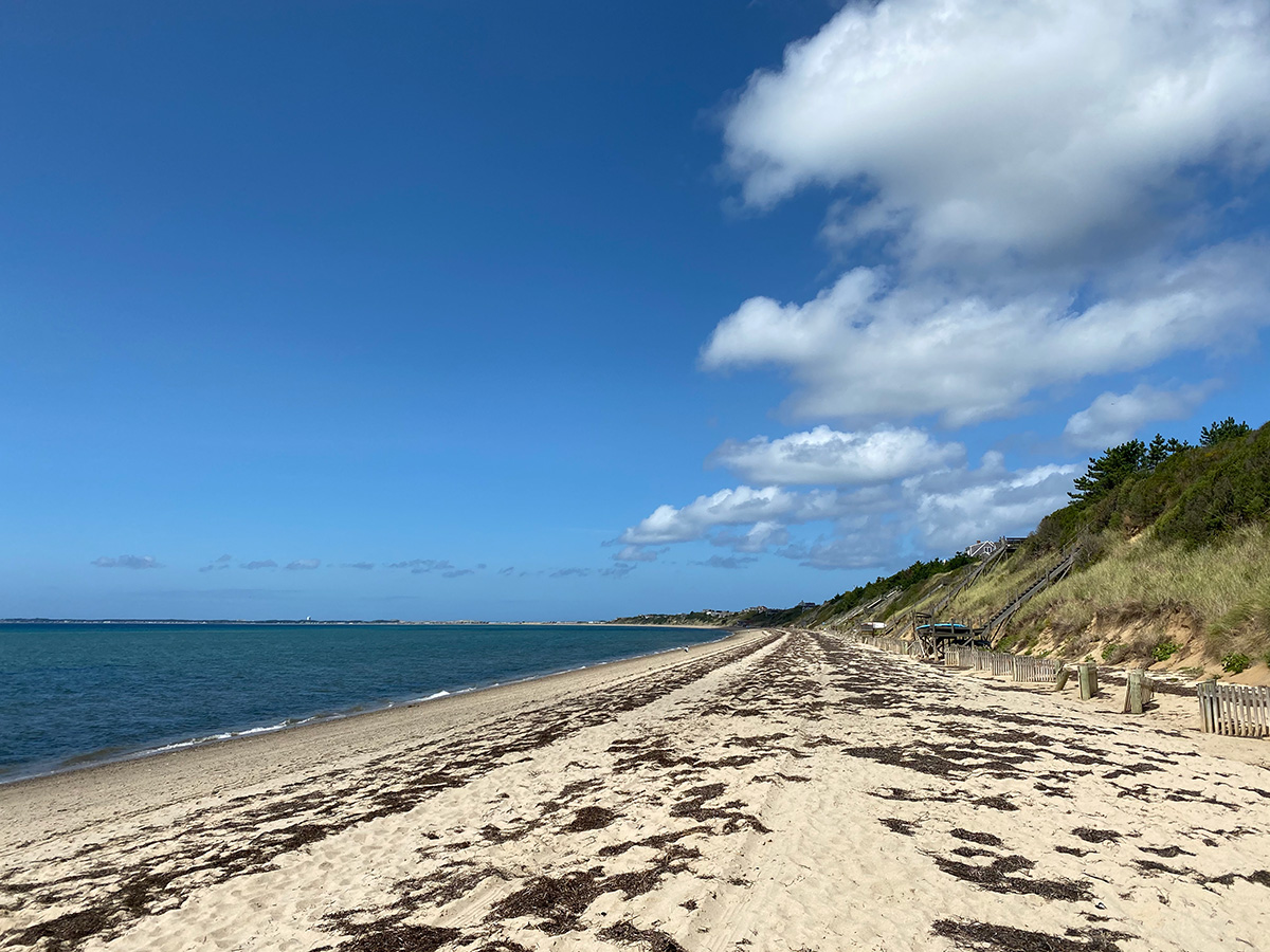
The weather the first few days was sublime – 70s and sunny in the afternoon, high 50s at night. Charles planted himself in a chaise on the deck, from which he only budged for bathroom breaks and lunch. I trekked down to the private beach, which was an adventure in itself. At the end of our street was a path lined with tall shrubs of bearberry and beach rose, which let out at the top of a steep stairwell descending the precipice of a 40-foot glacial dune. Located at the bottom was my own private paradise – a sliver of deserted beach along the docile shores of Cape Cod Bay. I plopped down in my beach chair and partook in three of my favorite pastimes: reading, suntanning, and endlessly gazing at the ocean (or bay, in this instance).
Charles packed a Sgt. Pepper’s Lonely Hearts Club Band 1,000-piece jigsaw puzzle. We started working on it the first day. I can’t even remember the last time I did a jigsaw puzzle…but I don’t know why we don’t do them more often. It was fun and exhilarating, working against the clock of our seven days away. Each night before bed, we’d spend a few hours recreating the 58 faces from the Beatles’ 1967 album cover. On day six, we finally finished it.
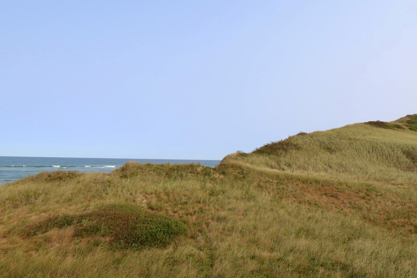
On most afternoons, I’d venture out on hikes up and down the Cape. Growing up in northern New Jersey, I got my beach fill at the Jersey Shore. While there are several spots to enjoy the natural beauty of the Atlantic Coast, the Jersey Shore is mostly flat and suburban. I was pleasantly surprised to discover that Cape Cod has quite a varied landscape. Thick swaths of crested sand dunes, hilly terrain adjacent to the coastline, gullies carved out by ancient rivers – all of which were at most a 30-minute drive from Avocet’s Nest.
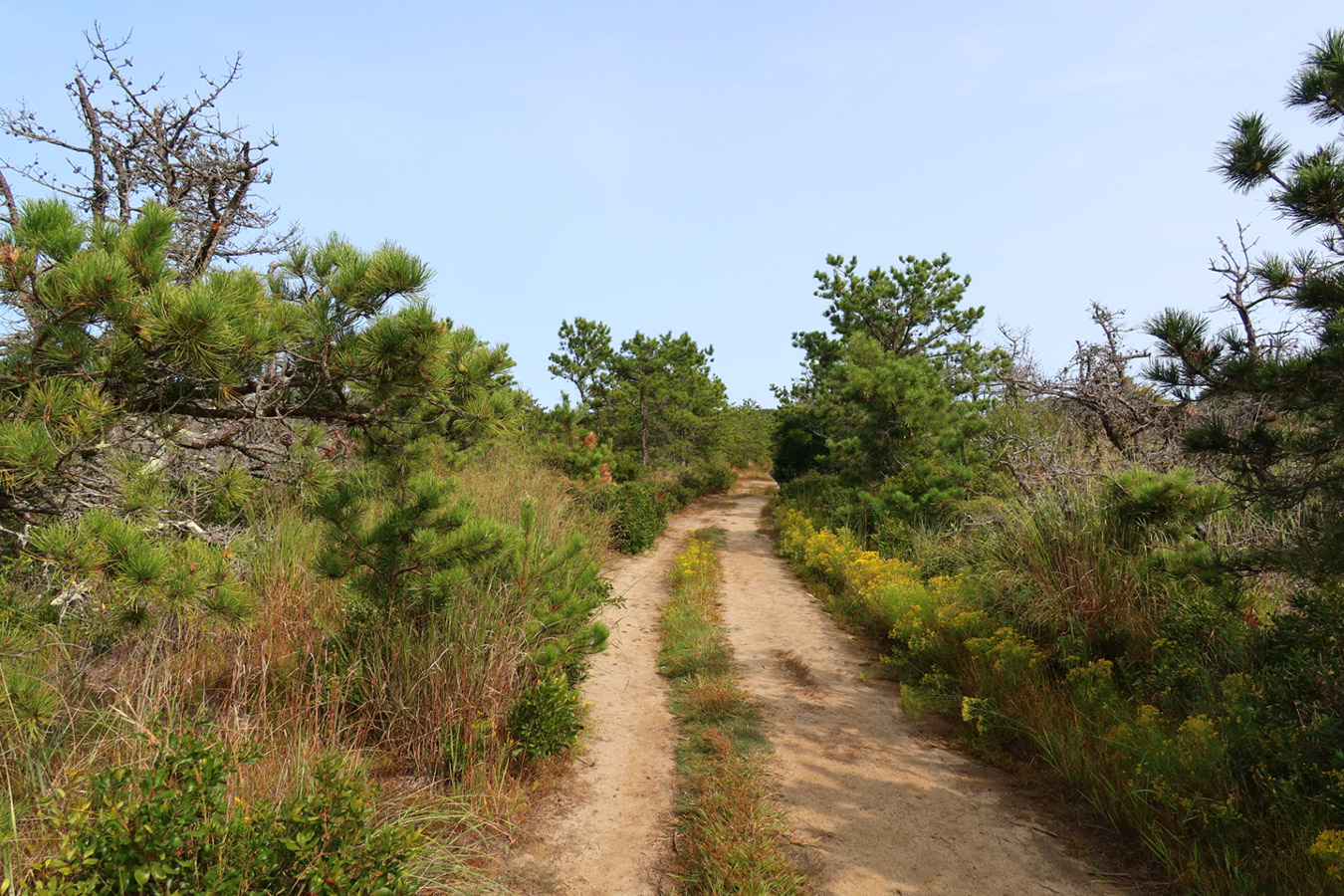
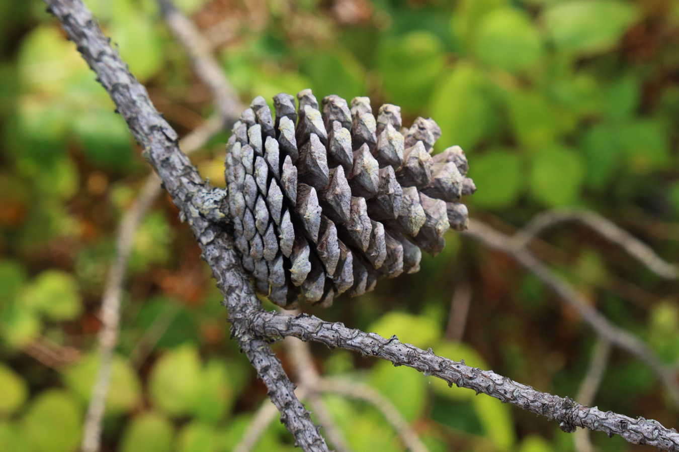
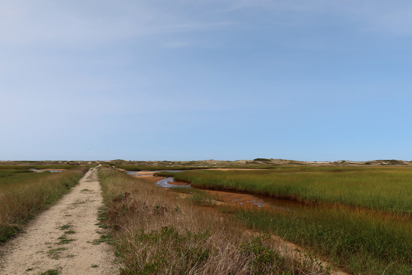
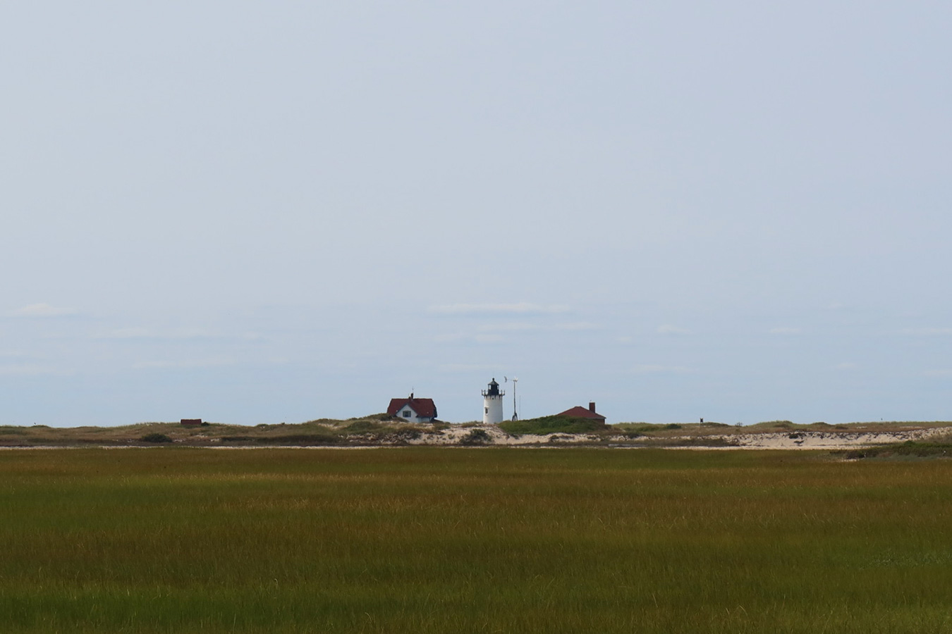
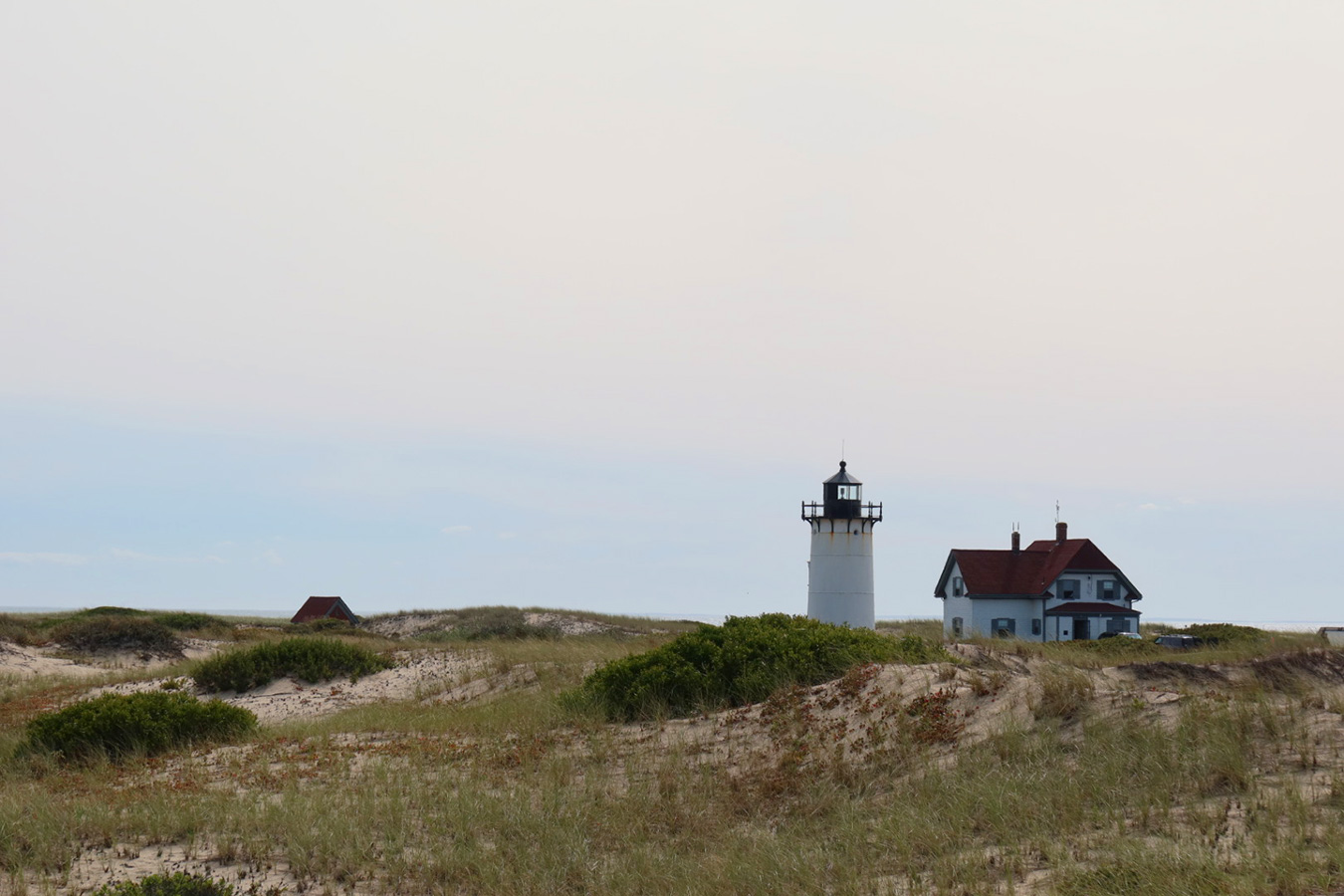
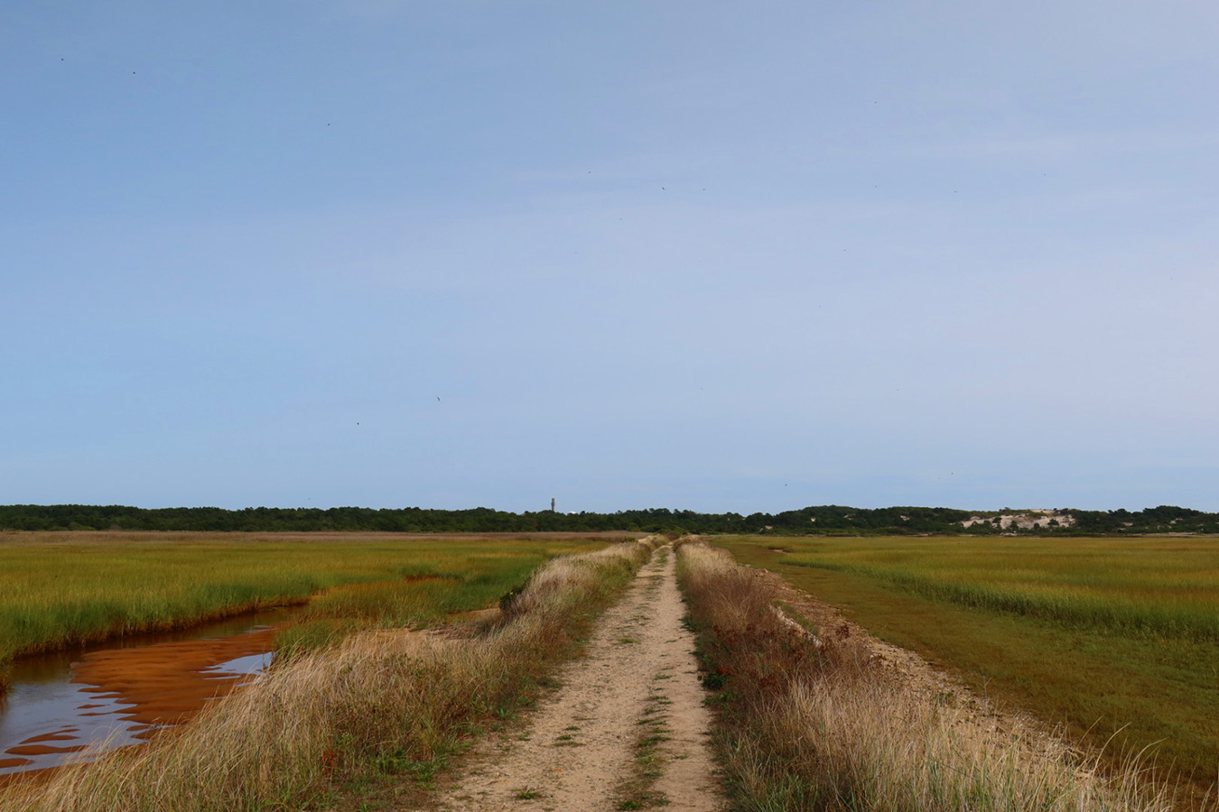
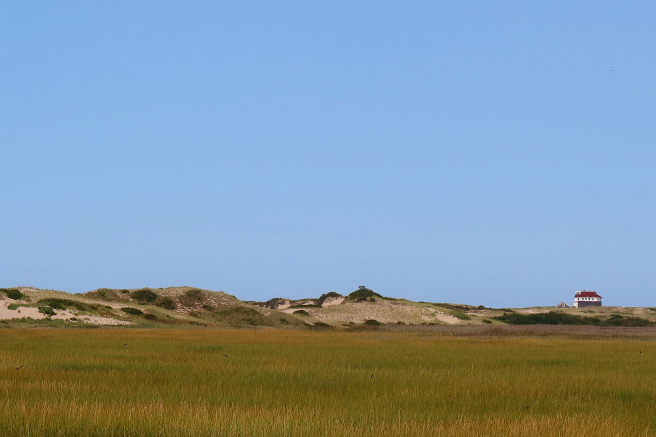
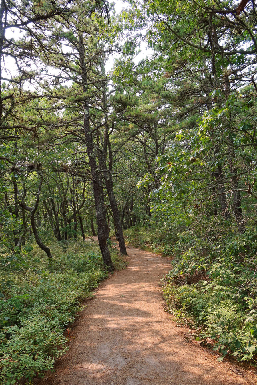
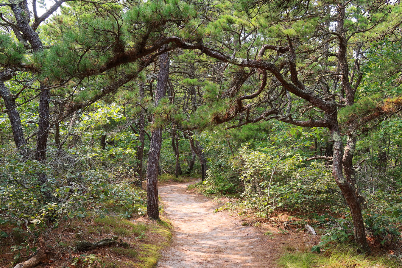
On my first hike I explored Hatches Harbor Trail, located in the Province Lands section of the 43,600-acre Cape Cod National Seashore. The trail begins along a sandy track amidst a thicket of scrub pines. After half a mile or so, the path eventually emerges from the pine forest onto a levee that traverses Hatches Harbor. Off in the distance, you can see Race Point Lighthouse, a 45-foot tower erected in the late 19th century on the most northwestern tip of the cape.
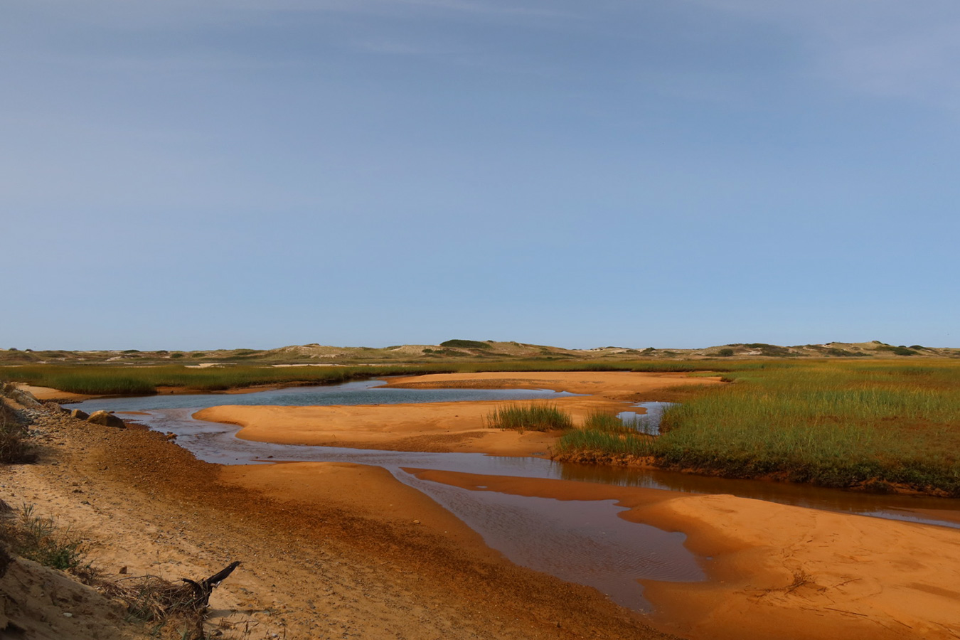
The walk across the levee is a nature lover’s wonderland. I had arrived during low tide, which revealed channels and tide pools surrounded by marshy greenery, further separated from the roaring Atlantic by a 1,200-foot stretch of amber sand dunes covered in dune grass. The light from the mid-afternoon sun was resplendent, highlighting all the intricate shadows created by the undulations in the sand. At the far end of the levee, the trail dissipates into the great expanse of the dunes.
For my next hike, I checked out the Atlantic White Cedar Swamp Trail in Wellfleet, also situated in the Cape Cod National Seashore. The trailhead is located at the Marconi Station Site, where the first transatlantic wireless station was constructed between 1901 and 1902. The equipment has since been removed, but an observation platform perched atop a bluff offers some impressive views of the Atlantic. Just across the way is the trailhead, along with public restrooms and picnic benches.
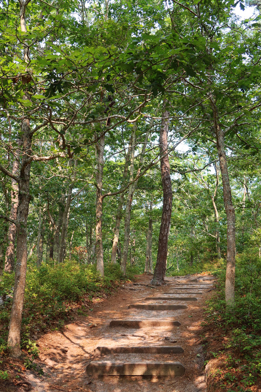
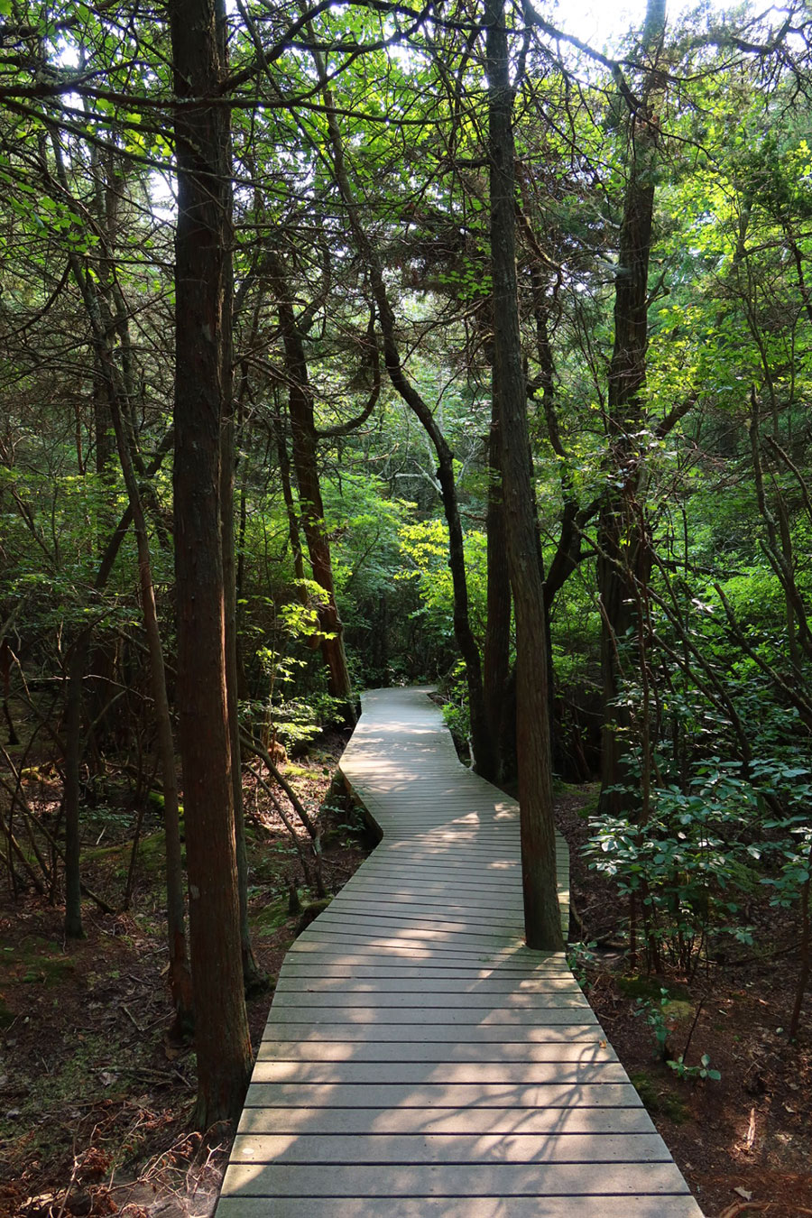
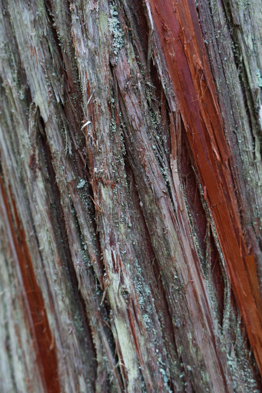
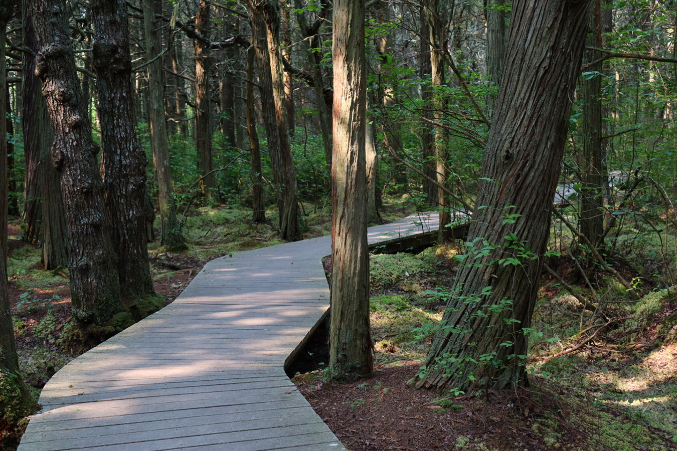
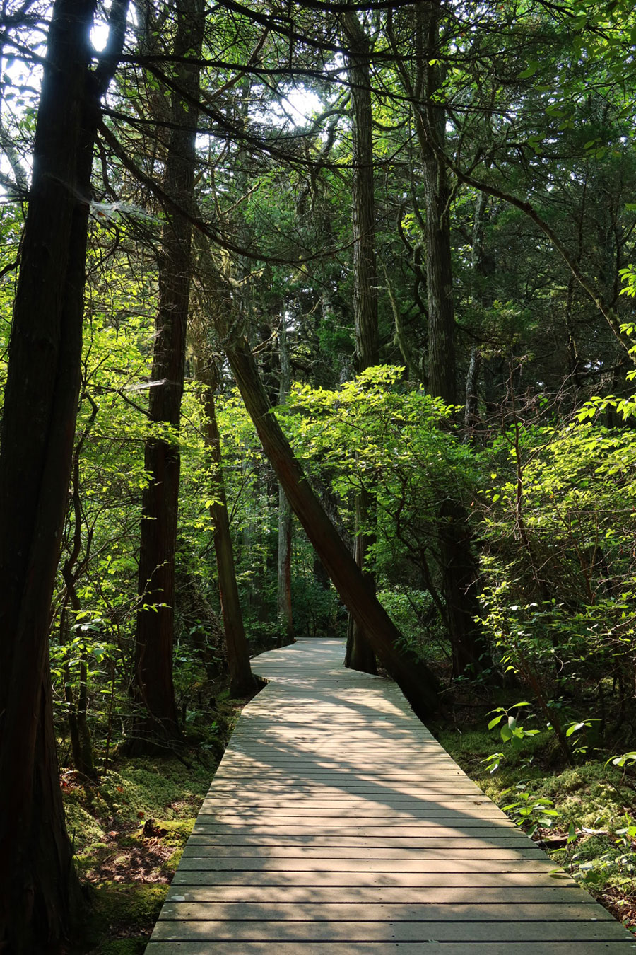
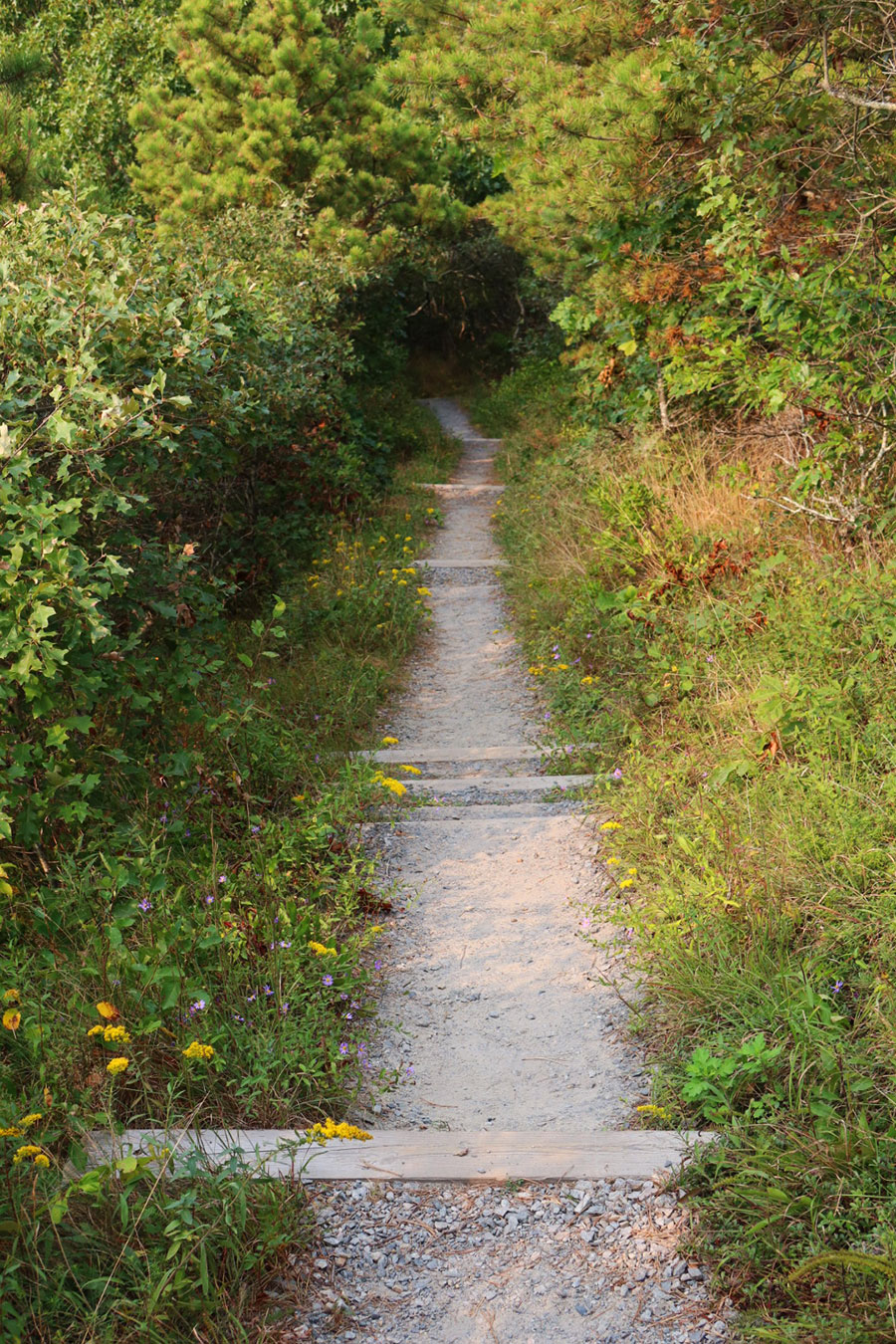
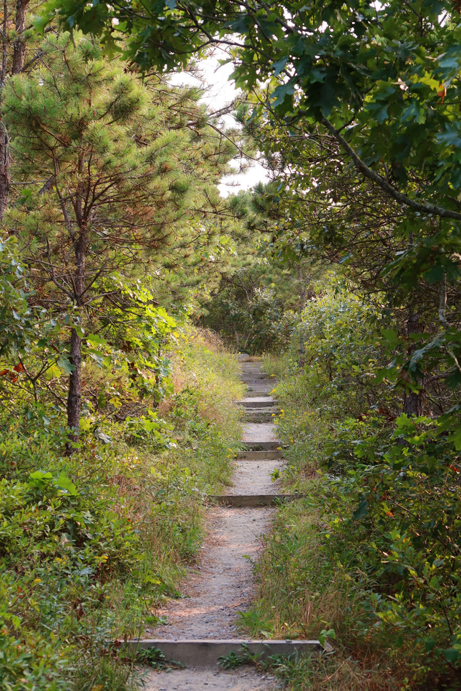
The trail begins along a sandy path through a forest of stunted oak and pine trees. The path gently descends a long, gradual slope with wooden steps built into some of the steeper gradients. The swamp is located at the base of the slope in a depression deep in the forest. An elevated boardwalk creates a circuit through the dense grove of Atlantic white cedar trees, with underwood in vibrant shades of green sharing the hummocks from which the trees grow. More of that magical Cape Cod light illuminated the planks with glowing silhouettes from the canopy above. The circuit connects back to the main trail, which ascends an uphill straightaway that rejoins the parking area.
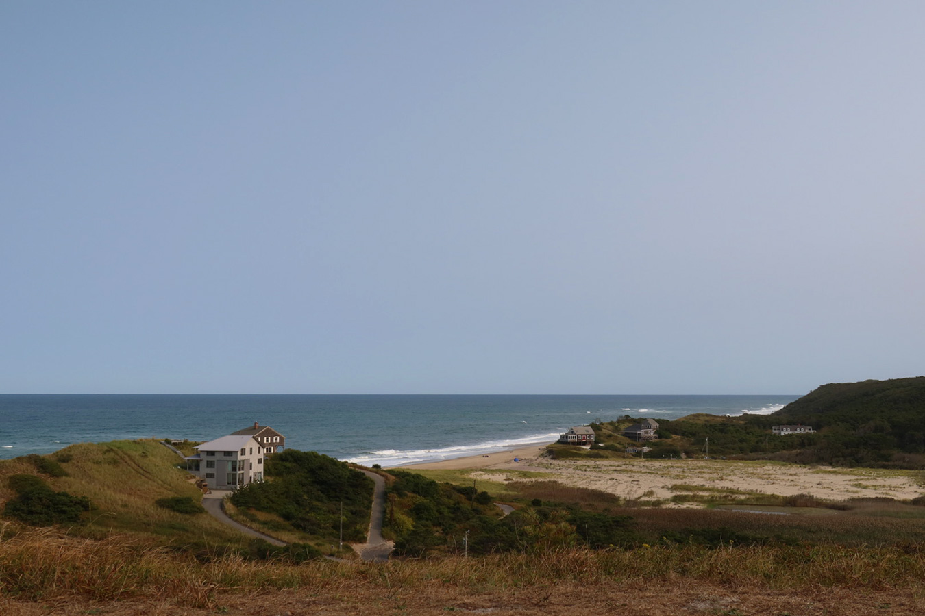
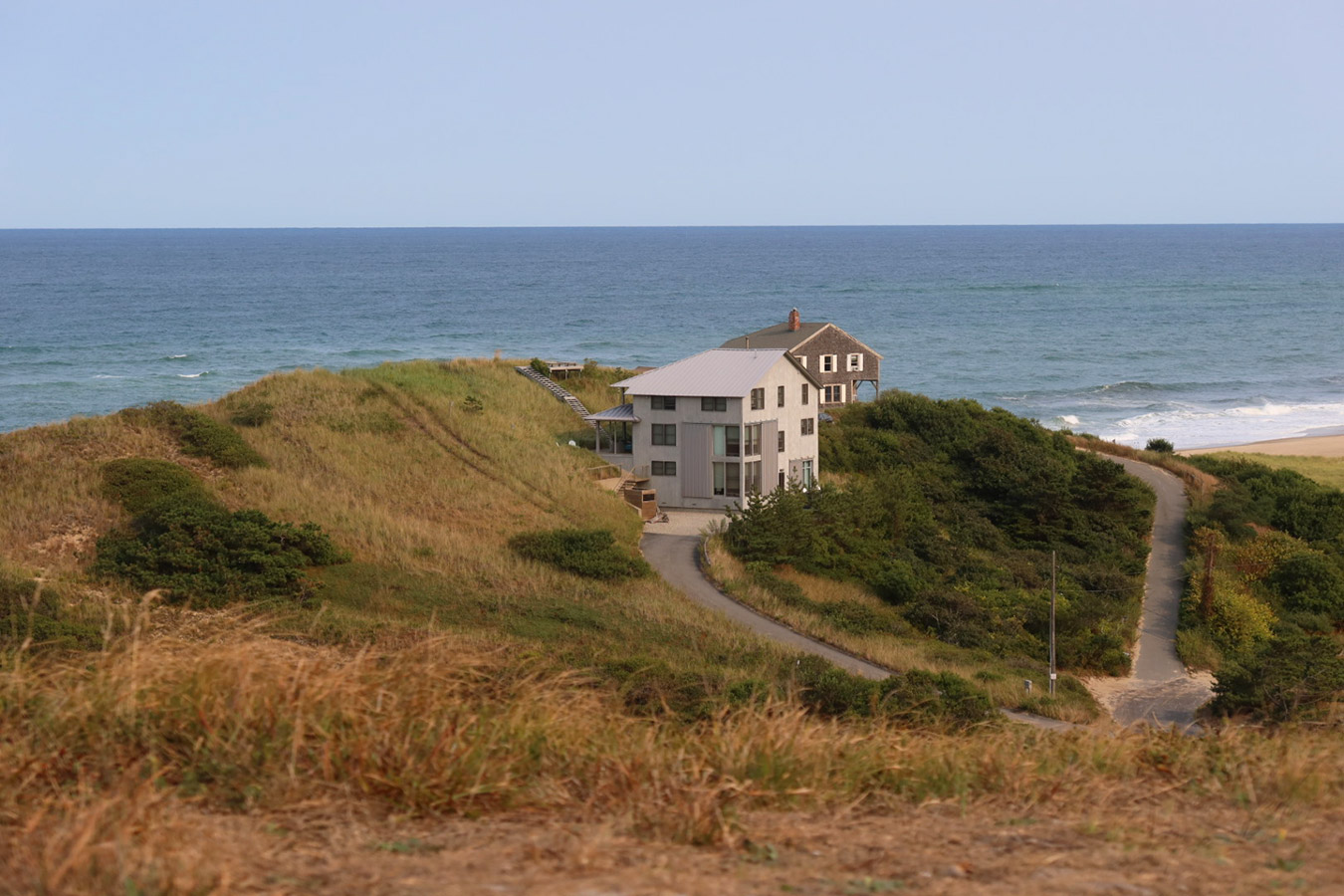
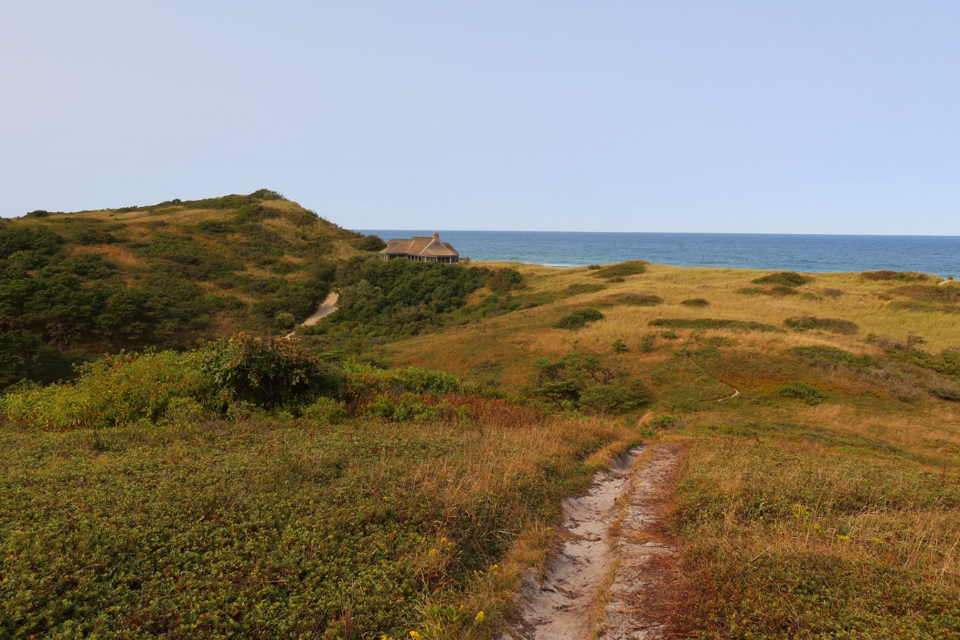
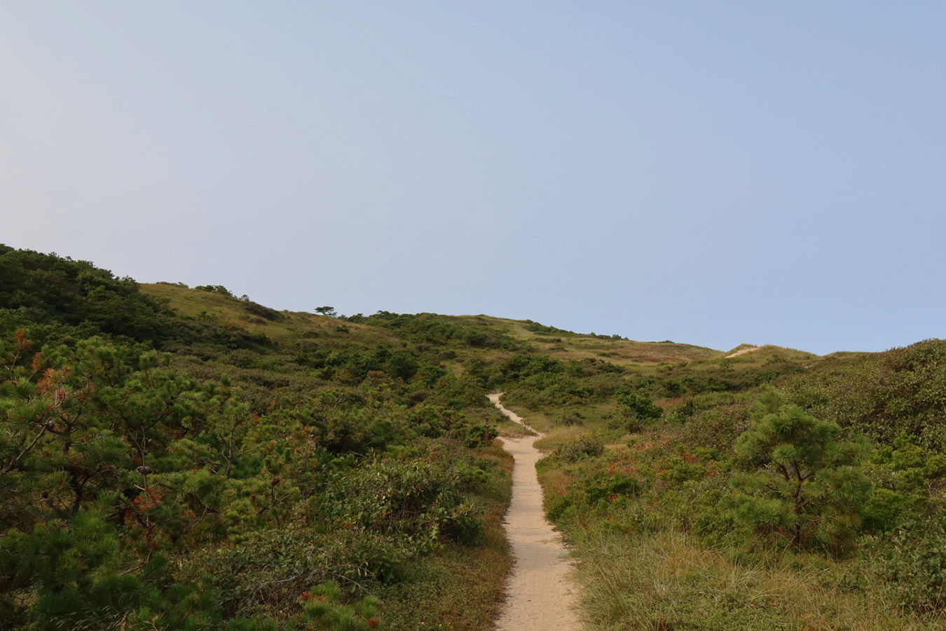
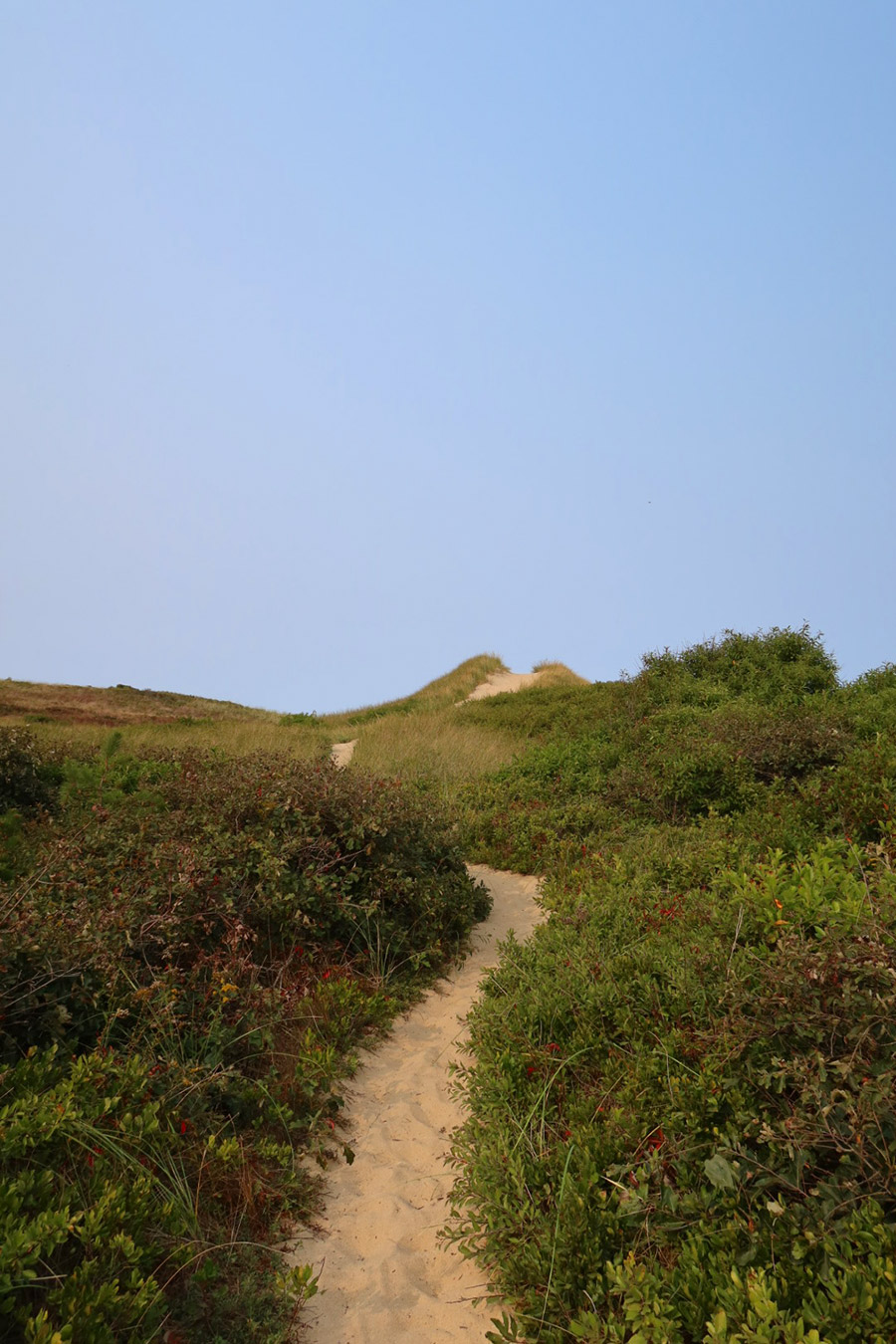
The next day, I spent the latter part of the afternoon on the Pamet Area Trails, which turned out to be my favorite hike on the trip. This area of the cape was shaped by the Pamet River during the Last Glacial Period, which today snakes its way four miles from the bay to the Atlantic, creating a valley surrounded by verdant, low-lying cliffs. The trailhead is located near Ballston Beach in Truro. The trail begins with a spiral ascent to the eastern summit of Bearberry Hill, a 115-foot knoll covered in the eponymous shrub with a commanding view of Ballston Beach and the surrounding glacial terrain. The scenery is straight out of an Edward Hopper oil painting, who, coincidentally, spent summers on the cape between the 1930s to 1950s and used the New England environs to inspire his artistry.
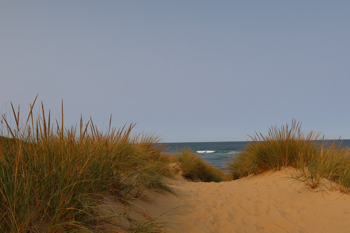
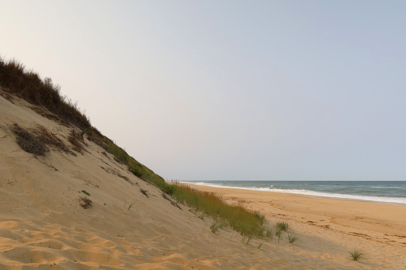
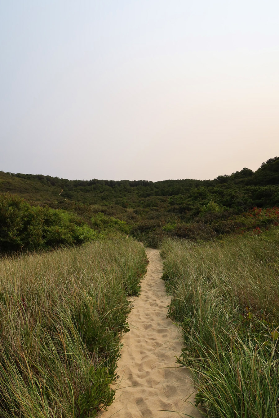
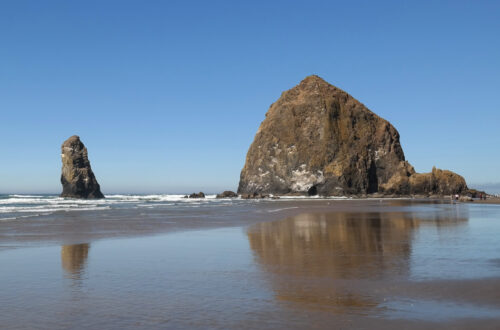
The trail then descends the other side of Bearberry Hill through coastal woods along a narrow track lined with brush, and to my delight, wildflowers. The path eventually levels out in Higgins Hollow, which for over 100 years supported a series of cranberry bogs where commercial flooding and harvesting took place. There is even a bog house from 1830, which serviced itinerant cranberry farmers until the 1960s. Unfortunately, I didn’t have time to see the bog house or explore that part of the trail because dusk was approaching fast. Instead, I continued along as the dirt path turned to sand and cut up and over a steep dune ridge that emptied out onto a deserted beach. I was so taken by the beautiful landscape of the Pamet Area Trails. It reminded me of Oregon or California…so very different from my previous experiences visiting other Atlantic Coast beaches.
Last visited in September, 2020


